
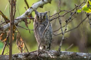
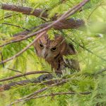
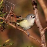
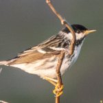
You don’t need to be a birder to know that most birds above the equator fly from temperate northern climes to more tropical southern locales for the winter. Changes in light, temperature, and food availability trigger the instinct to migrate, an urge so powerful that only a really well-stocked backyard bird feeder can override it.
Migratory birds follow a variety of routes, most of which are are far more complicated than just due south. Every species has its own path. However, traffic is definitely heaviest along the coasts, mountain ranges, and principal river valleys. Birds may use celestial bodies or the Earth’s magnetic field to steer their way but they also depend on major topographical features to aid in navigation. In North America, our coasts as well as most of our mountain chains and major river valleys follow a north/south orientation. Thus, geography conspires to funnel migratory activity down certain obvious corridors. These routes used by migratory birds for passage between wintering and breeding ranges are called flyways.
 Four major North American flyways stretch from the uppermost reaches of Alaska and Canada through the United States down into Mexico and beyond.
As one might expect, the Atlantic Flyway includes the shore line from the eastern Arctic islands and the coast of Greenland down through to Florida. However, birds merge into the Atlantic Flyway from as far west as the northern coast of Alaska. Canada’s northern prairies feed into this flyway as it filters through the Great Lakes on to Chesapeake Bay.
The Mississippi Flyway is etched not by one mighty river, but by two. The Great Muddy, of course, runs to the Gulf of Mexico while the Mackenzie River issues to arctic waters. From the mouth of one river to the end of the next, this 3000-mile flyway is blessedly clear, unimpeded by mountains.
The Central Flyway flows along with the icy waters of the Mackenzie as well, but diverges to follow the eastern base of the Rocky Mountains. It draws birds from the Great Plains, crosses the Continental Divide, and runs through the Great Salt Lake Valley right into Mexico.
The Pacific Flyway connects the western Arctic, including Alaska and the Aleutian Islands, to western Mexico via the Rocky Mountains and Pacific Coast. Rather than pass through customs, many birds choose to winter in California.
Each of these flyways represents a general path, a corridor that may be hundreds of miles wide in some places. Even the most focused flyway branches off into thousands of tributaries. Birds ply each of these smaller flyways according to their custom and can be counted on to return year after year. Birders can also be counted on to return to these flyways year after year.
Many hunters are probably more aware than birders of the geographical boundaries of the major flyways, thanks to the Flyway Councils. Flyway Councils, formed in 1952, work with the U.S. Fish and Wildlife Service to set migratory bird hunting regulations within the United States. They also conduct and contribute to migratory bird research and management throughout North America. There are, of course, four Flyway Councils. You can probably guess their names…


Mike, surely you are not suggesting that by feeding birds we are risking keeping the birds from migration. Everything I have read points to the fact that it is the length of daylight that prompts a bird to move on…not so much the availability of food. I have read several reliable sources that insist feeding birds is a help to birds and not likely to affect their moving about. Making a statement that feeding birds might override migration could induce folks to quit feeding them; which would be detrimental to their overall wellbeing. I hope you are able to clarify this bit.
I keep all my feeders well stocked; and not a single bird has decided to stay when this is not it’s winter home.
No, not at all, Beverly. That line was a joke, although it does contain the kernel of truth that many migratory birds choose not to migrate over time. In NY, many blue jays and robins go but plenty stay as well.
LOL I enjoy your posts a great deal…but realize sometimes humor is a difficult thing online. Nope; I didn’t see the joke. Sorry
Yes, while some birds are changing their migratory patterns, I understand it has more to do with the fact that the world is getting warmer; not to the fact that there are well stocked feeders around.
I also understand that when we see birds around all year, it is often the case that they are not the SAME birds. Many birds move south as the weather changes; northern most birds may move into my yard while ‘my’ birds move to an even more southernly spot.
I have a brother who says he won’t feed birds because he doesn’t want to mess with mother nature and keep the birds from migrating. I just don’t want him to get the idea he’s right when there is so much written to say feeding birds is such a help and does NOT keep them in place.
Hi – would you know if there is a listing of the migratory
birds that use the Atlantice flyway?? Karen